Lat-asan Shoreline in Brgy. Lat-asan, Panay, Capiz is a 496-hectare coastal area known for its gray sand, shell-strewn beach, and surrounding mangroves. Historically, it served as a refuge during the Japanese occupation, and its name comes from “lat-as,” meaning “to leave” in Hiligaynon. Today, it is a lively community space, especially during the San Juan feast, and is also used for everyday activities like swimming and picnics. The shoreline supports the local economy by serving as a docking site for fishermen, whose catch is sold in markets and restaurants. It is home to diverse marine species and mangroves, which help protect the area from erosion and storms. Conservation efforts focus on maintaining mangrove growth and protecting the shoreline from illegal fishing, although infrastructure and changing water levels remain as challenges.
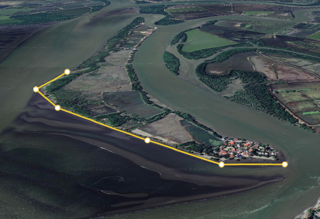
Photo Credit/s:
Google Earth, 2024
Mappers:
Rector John Latoza, Prince Evan D. Dinero, Paul Joseph B. Beloria
Tags:
Brgy. Lat-asan, Capiz coast, changing water levels, Coastal Area, coastal erosion prevention, community gathering spot, environmental challenges, fishermen docking site, gray sand beach, Hiligaynon heritage, illegal fishing control, Japanese occupation refuge, Lat-asan Shoreline, local fish markets, mangrove forest, Mangrove Protection, Marine Biodiversity, Panay Capiz, picnic site, San Juan feast, shell-strewn shore, shoreline conservation, Storm Protection, swimming area
Want to know more?
Inquire about this specific heritage by filling up the form below.
We will get back to you with an answer as soon as we can.